
Last updated October 2026
Bethlehem (Peterehema) is a western suburb of Tauranga on the southwestern edge of the city, set between the Wairoa River and inland routes toward Tauriko. Once a small independent settlement, it has grown into a mix of established neighbourhoods and newer subdivisions while retaining strong links to Ngāti Hangarau and the wider Tauranga Moana landscape.
Residents and visitors find a self-contained town centre, several schools, and green spaces that sit close to both harbour and river.
The suburb forms part of the Bethlehem General Ward and is a practical base for exploring western Tauranga and the routes north toward Te Puna. Its character blends suburban living with easy access to State Highway 2 and local amenities.
Official Suburb Facts
- Population (2023 Census)
- About 9,380, up 7% since 2018
- Land area
- 10.07 km²
- Location
- 4.8 km west of central Tauranga
- Council
- Tauranga City Council
- Ward or local board
- Bethlehem General Ward (Tauranga City Council)
- Getting there
- Main access via State Highway 2, Cambridge Road, Moffat Road and Bethlehem Road; Bayhopper urban and school bus services serve the area
- Main shopping
- Bethlehem Town Centre (also known as Bethlehem Town Shopping Centre)
- Schools
- Bethlehem College; Bethlehem School; Tauranga Adventist School; Te Wharekura o Mauao
- Nearby landmarks
- Wairoa River; Hangarau (Peterehema) Marae; Carmichael Reserve; Bethlehem Town Centre
Who Lives in Bethlehem
About 9,380 residents in 3,620 households. From the 2023 Census, with the New Zealand figure alongside for comparison.
In Bethlehem
Places and businesses inside the official Bethlehem boundary.
Places
About Bethlehem
Bethlehem sits on the southwestern outskirts of Tauranga in the Bay of Plenty. The suburb takes in a range of residential areas including Bethlehem Heights, Sterling Gate, La Cumbre, Saint Andrews and Mayfield. To the west the Wairoa River forms a natural boundary, while State Highway 29 and connecting roads mark the eastern side toward other parts of the city.
The Māori name Peterehema is used alongside the English name. The area is closely associated with Ngāti Hangarau of Ngāti Ranginui. Hangarau (also known as Peterehema) Marae stands on Bethlehem Road; its whare tipuna is also named Hangarau.
The marae connects to the waka Tākitimu, the awa Wairoa, Mangapapa and Omanawa, and the moana Te Awanui. A second marae, Te Wairoa, is also linked to the wider Bethlehem area and affiliated hapū of Ngāti Ranginui.
Originally a small independent town, Bethlehem has been absorbed into the expanding city of Tauranga. It now functions as a full residential suburb with its own shopping centre, schools and reserves.
The Bethlehem Town Centre provides everyday retail and services, while green spaces such as Carmichael Reserve offer local open space. The suburb continues to sit at the edge of further growth toward Tauriko West.
For visitors and people considering living here, Bethlehem offers a quieter western location with direct road links into central Tauranga and north along the harbour corridor. The mix of older settlement patterns, marae, schools and modern subdivisions gives it a distinct local identity within Western Tauranga.
History and Heritage
Māori occupation and connection to the land long predate European settlement. Ngāti Hangarau hold mana whenua associations with the Bethlehem and Wairoa area.
The present Hangarau wharenui at Peterehema Marae was opened in 1969 by Te Arikinui Dame Te Atairangikaahu after the earlier house was taken down; some original carvings were retained and new work was completed under the direction of carvers including Tuti Tukaokao, with tukutuku panels guided by Pine Taiapa.
European-era schooling began early. Bethlehem School opened in 1883 as Paeroa Native School, later becoming known as Bethlehem Native School and then Bethlehem Primary School.
The wider educational landscape later expanded with the development of the Bethlehem Campus, which includes Bethlehem College (a state-integrated Christian school for Years 1 to 13) and related tertiary provision. A historic chapel, formerly St Mary’s Catholic Church from Cameron Road, was relocated to the college grounds.
These layers of marae, early schooling and later suburban growth shape the heritage character of the place today.
Getting Around
State Highway 2 is the main arterial through and past Bethlehem, linking the suburb with central Tauranga, Te Puna and points further north. Cambridge Road, Moffat Road, Bethlehem Road and connecting local streets serve residential areas and the town centre. The Wairoa River bridge is a key western gateway.
Public transport is provided through the Bay of Plenty Regional Council Bayhopper network. Urban routes and dedicated school hopper services reach Bethlehem and nearby suburbs, with connections useful for students travelling to Bethlehem College and other schools. Cycling and walking options exist within neighbourhoods and toward reserves, though the main highways carry significant traffic volumes at peak times.
Shopping and Dining
The Bethlehem Town Centre is the principal retail hub. It covers a substantial footprint with extensive car parking and a mix of major stores and smaller retailers. Anchors have included large-format retail such as Kmart, a full-service supermarket and homeware outlets, alongside cafés and everyday services. The centre serves both local residents and people travelling the western approaches to Tauranga.
Beyond the main centre, smaller local shops and services appear along key roads. Dining options are concentrated at the town centre rather than spread as a long high-street strip. For a wider choice of restaurants and hospitality, central Tauranga and the Mount Maunganui side of the harbour remain a short drive away.
Getting Outdoors
Bethlehem offers accessible green space within a suburban setting. Carmichael Reserve is one of the named local parks providing open space for recreation. The Wairoa River corridor on the western edge supplies a natural backdrop and opportunities for riverside walking and views. Further afield, the wider western Tauranga and Te Puna areas open toward harbour margins and rural landscapes.
The suburb itself is more residential than a destination for long tramping tracks, yet its reserves and river edge make it pleasant for everyday outdoor time. Larger regional parks and coastal walks sit within easy reach by car or bus for those wanting a longer outing.
Near Bethlehem
Just outside Bethlehem, within 5 km of its centre, nearest first.
Places
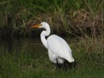 The White Heron in
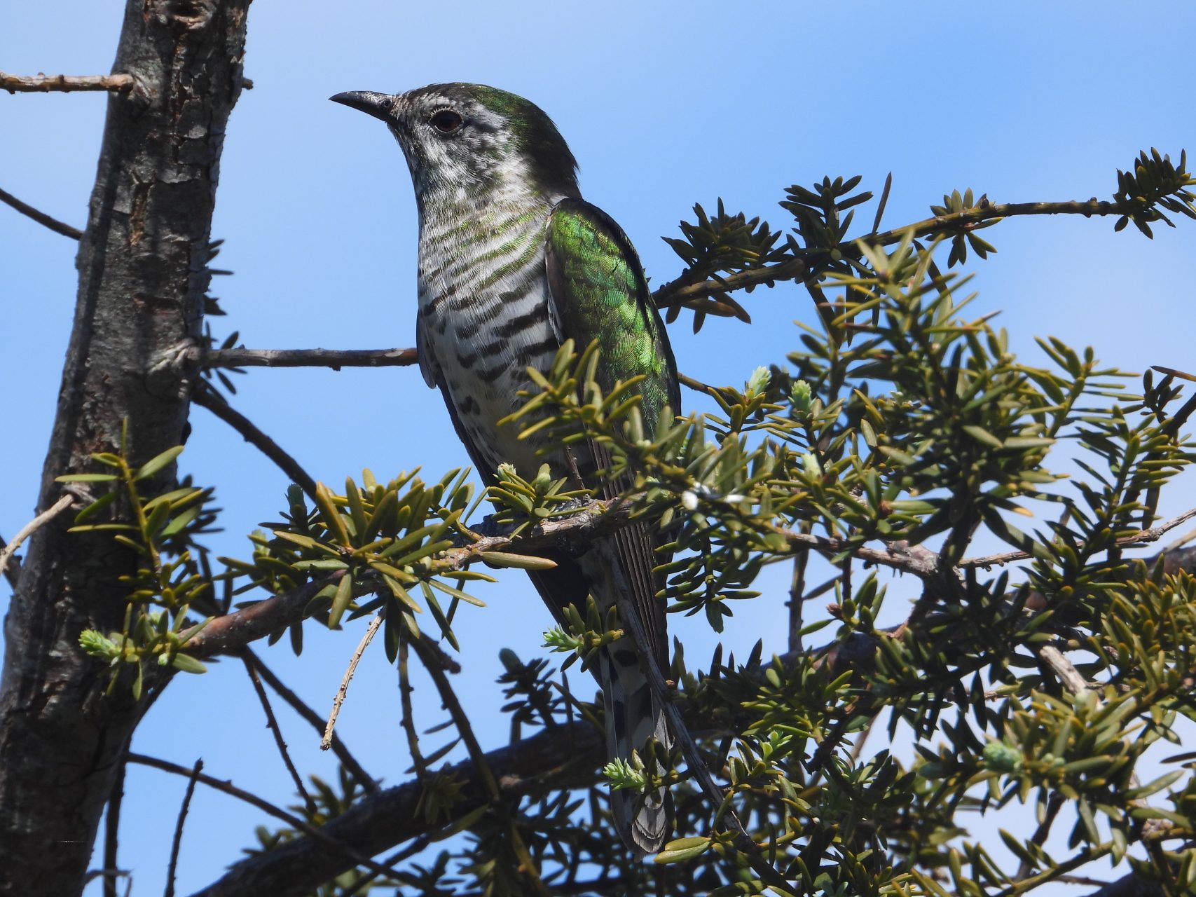 Spotting the Shining Cuckoo inGate Pā Historic ReserveTauranga Historic VillageŌtūmoetai Foreshore & Matua Saltmarsh Walkways
Businesses






Where to Learn More
Tauranga City Council – Bethlehem neighbourhood: Official ward overview, projects and local information for the Bethlehem area.
Māori Maps – Hangarau (Peterehema) Marae: Details on the marae, hapū Ngāti Hangarau, iwi Ngāti Ranginui and ancestral connections.
Wikipedia – Bethlehem, New Zealand: Summary of location, marae, town centre and schools with references to primary sources.
Frequently Asked Questions
Where is Bethlehem in Tauranga?
Bethlehem is a western suburb on the southwestern outskirts of Tauranga, between the Wairoa River to the west and routes toward State Highway 29 and the rest of the city to the east.
What is the Māori name for Bethlehem?
The Māori name is Peterehema. The local marae is known as Hangarau or Peterehema Marae.
Which council ward covers Bethlehem?
Bethlehem sits in the Bethlehem General Ward of Tauranga City Council. The ward also includes Judea and related areas.
What schools are in Bethlehem?
Schools include Bethlehem College (Years 1–13, state-integrated), Bethlehem School (state primary), Tauranga Adventist School, and Te Wharekura o Mauao.
Is there a shopping centre in Bethlehem?
Yes. Bethlehem Town Centre (Bethlehem Town Shopping Centre) is the main retail hub, with major stores, a supermarket, specialty shops and parking.
How do I get to Bethlehem by public transport?
Bayhopper urban bus services and school hopper routes operated through Bay of Plenty Regional Council serve Bethlehem and connect it with other parts of Tauranga.
What marae is in Bethlehem?
Hangarau (Peterehema) Marae is located on Bethlehem Road and is the marae of Ngāti Hangarau of Ngāti Ranginui. Te Wairoa Marae is also associated with the wider area.
What outdoor spaces are near Bethlehem?
Carmichael Reserve provides local green space, and the Wairoa River forms the western edge of the suburb. Further harbour and regional outdoor options are a short distance away.
Spotted something incorrect on this page? Let us know.
Explore Tauranga only lists suburbs officially recognised by Land Information New Zealand (LINZ), and Bethlehem is one of them. Suburb boundary: LINZ, CC BY 4.0.